
|
Total Solar Eclipse of 2016 March 8-9
in Indonesia or Micronesia
|
|
|
The point of greatest eclipse (totality phase during 4 min 9 sec) was located in the middle of the Pacific Ocean east of Indonesia where about 10 million people lived inside the totality path. To observe the 2016 March 8-9 total solar eclipse, I proposed tours only in eastern Indonesia, in the Northern Maluku, where the ground weather prospects were the best and the duration the longest. However the local infrastructure was fairly limited. The Woleai atoll, belonging to Micronesia, was offering the longest land-based duration very close to its maximum but its airstrip was out of order so the logistics would have been far too complex. There were numerous viewing locations along the path, however paying close attention to the weather patterns and local terrain topography was mandatory unless you were on a cruise ship in the Pacific Ocean where the sky was usually clearer. Moreover the 2015-2016 El Niño episode did somewhat improve the weather prospects in Indonesia.
You can use this solar eclipse calculator to compute the local circumstances of the eclipse, and the solar eclipse timer notifies the beginning of the various events. A time exposure calculator is there to help you choose your camera settings.
Click on thumbnails to visit the next page
|
|
|
|
|
|
Ternate, the second largest island of the North Maluku archipelago, is usually the entry point for accessing the North Maluku islands because of its larger airport but also as being the ancient capital with its long history and notably the spice trade. The island of Ternate is off the centerline, but still offers 2 minutes and 45 seconds of totality. Moreover the other islands in the direction of the centerline, Tidore, Mare, Moti and Makian, are easily accessible from Ternate which means reaching 3 minutes and 14 seconds of totality is achievable.
However after multiple scouting trips in March, I finally chose the coast on the eastern side of the bigger Halmahera island because it had the clearest blue sky and the best chances to view the eclipse. Because of the local terrain topography, certain locations clearly have the edge.
Nevertheless Ternate and the various islands to the south represent a good compromise for those who do not wish to venture to Halmahera. You should know that the accommodation available on Ternate and the other islands is relatively limited.
The picture below, taken in March 2015 a good hour before the time of totality, shows what you can expect from the sky over the islands of Ternate, Tidore, Mare, Moti and finally Makian. The centerline is located between Moti and Makian.
|

Potential viewing sites in the North Maluku in Indonesia
|
|
Being inside the cockpit along the whole centerline over Indonesia at the time of the eclipse was also very instructing concerning the clouds.
|

Cockpit from an altitude of 38,000 feet (FL380) above the Makassar Strait
|

Clouds over the Molucca Sea from an altitude of 38,000 feet (FL380)
|

Clouds over Borneo and Balikpapan from an altitude of 38,000 feet (FL380)
|

Clouds over Borneo from an altitude of 38,000 feet (FL380)
|

Detailed map of the North Molucca showing the duration curves taking into account the lunar limb profile
(notice that the longest duration is a few kilometers north of the centerline)
|
|
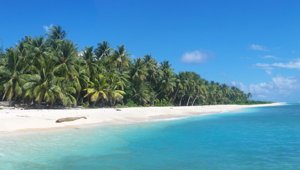
The Woleai atoll is the landmass where the duration of totality will be the greatest, but this location is very difficult to access.
|

Potential viewing site in Micronesia
|
|
|
|
|
|
|
|
|


