| Home > Eclipses > Solar Eclipses > Annular Solar Eclipse of 2006 September 22 |
|
|
|||
|
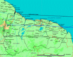
To observe the 2006 September 22 annular eclipse, I was in French Guiana at the Pointe de l’Etat-Major on the Kourou beachfront. Located between the 2° and 6° N parallels, French Guiana has an equatorial climate. This position near the equator, plus its oceanic beachfront, confers a good climatic stability : a great wind and temperature regularity, slightly varying throughout the year. Only rainfalls show consequent annual variations. The dry season from mid-July to mid-November, when the Intertropical Convergence Zone (ZIC) moves to latitudes higher than 10° N, thus sparing the French Overseas Department, gave us a good opportunity to observe this annular eclipse (about 50% odds). The days are thus quite sunny, only some rainstorms, sometimes stormy, develop during the afternoon in the interior. You can also visit the Tourism Board of French Guiana website for more information. Click on thumbnails for a larger version
|
|||
|
Xavier M. Jubier
1999 August 11
2001 June 21
2001 December 14
2002 December 4
2003 November 23
2005 April 8
2005 October 3
2006 March 29
2006 September 22
2008 February 7
2008 August 1st
2009 January 26
2009 July 22
2010 January 15
2010 July 11
2012 May 20
2012 November 14
2013 May 10
2013 November 3
2014 April 29
2015 March 20
2016 March 9
2016 September 1st


