
|
Total Solar Eclipse of 2017 August 21
Montana & Iowa States Unequivocal Totality
#eclipse2017, #tse2017, #2017eclipse
|

|
|
|
Some official sources, for example NASA and USNO, certify, or at least let you think, that the path of totality for this total solar eclipse will only pass through 12 or 13 states: this is inaccurate at best. Indeed this eclipse path crosses 14 states:
             
Among those 14 states, one, Montana, very slightly at its southernmost tip in a mountainous area so that nobody living in this state is likely to witness the unimaginable beauty of totality, and second one, Iowa, again at the tip of its southwestern most corner, a flat area that can be easily reached. I encourage those residing in those two states, Montana and Iowa, to prove them wrong by going on 2017 August 21st to the shown locations before taking pictures of totality and the solar corona. One should never forget that a total solar eclipse is all about YOUR OWN EXPERIENCE, not its duration or other factors.
So will the umbral shadow visit 14 states? Definitely yes, contrary to what can often be read or heard. Many tend to exclude Montana and Iowa just because those two states will only experience a couple of seconds of totality if any, so they say. Well those naysayers are plain wrong as Montana and Iowa will both experience a couple dozens of seconds of totality with the solar corona as well as a nice and prolongued display of Baily’s beads and continuous chromosphere. How can that be, just keep reading.
|
|
|
|
Totality from Montana, "Big Sky Country" so it even has the proper name
As one can see, taking into account the local terrain elevation, observers at the southernmost tip of Montana can indeed witness totality for up to about 30 seconds, definitely not a marginal duration by any means. Of course getting there is not easy and will involve some trekking at higher elevations which means camping near the night before is to be advised. Nevertheless what is more wonderful than having the satisfaction of being only a handful to be able to observe it from Montana.

Note: the northern limit of the eclipse path, the pink line, is drawn at sea level which means that when taking into account the local terrain elevation it will become a broken line that will need to be shifted to the south by about 1.5 kilometers (0.9 mile):
distance = cos(azimuth) * terrain elevation / tan(solar altitude)
that is cos(132) * 2500 / tan(48) = -1506 meters
Then taking into account the current uncertainty on the ΔT value we can expect another small shift northward of 50 meters at most.
All this to mean that if you place yourself south of this shifted line then you’ll surely witness totality.
If you are in Idaho then you will need to climb those mountains to view totality from the southernmost tip of Montana. So from Idaho drive ID 28 towards Salmon, turn on Nicholia Road and drive towards the Nicholia Ranch before turning left up Scott Canyon (FS 190) in the Targhee National Forest. Park where the road is blocked by a gate and start your hike from there. Otherwise starting from Montana may be a bit easier.

|
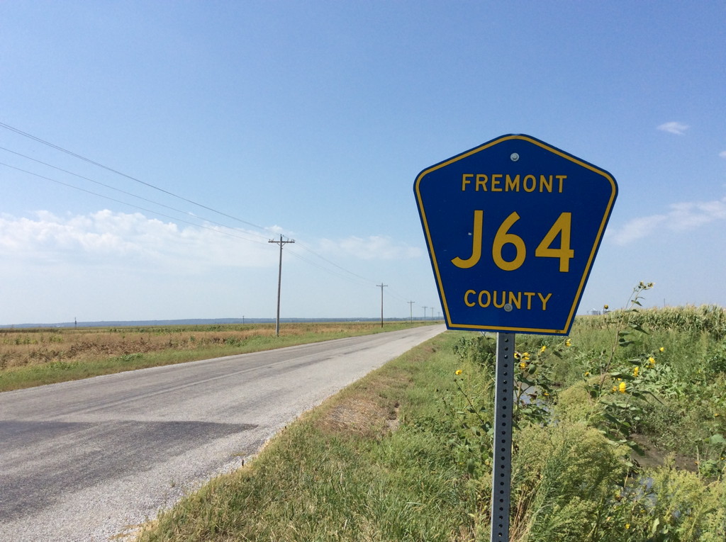
Totality from Iowa, "Fields of Opportunity" indeed!
Again, taking into account the local terrain elevation, observers in Iowa can indeed witness totality for up to about 25 seconds, with great ease as the area can be driven to extremely easily and you can even in a matter of minutes visit three states, namely Iowa, Missouri and Nebraska.

Note: the northern limit of the eclipse path, the pink line, is drawn at sea level which means that when taking into account the local terrain elevation it will need to be shifted to the south by about 150 meters (500 feet):
distance = cos(azimuth) * terrain elevation / tan(solar altitude)
that is cos(170) * 280 / tan(61) = -153 meters
Then taking into account the current uncertainty on the ΔT value we can expect another small shift northward of 50 meters at most.
All this to mean that if you place yourself south of this shifted line then you’ll surely witness totality.
The southwesternmost corner of Iowa will witness this spectacular total solar eclipse.
|
How to check your position using your smartphone
 To know in real-time how well you’re doing in terms of position in relation to the totality path you can use this auto-tracking geolocation tool
http://xjubier.free.fr/tse2017map?Map=ROADMAP
or a more complex map (all the URL on one single line with no spaces)
http://xjubier.free.fr/xSE_GM?Ecl=+20170821&Acc=2&Umb=1&Lmt=1&Mag=1&Max=1&MapT=ROADMAP
Remove the ?Map=ROADMAP at the end of the URL if you want to stay in the default SATELLITE mode. Of course the map mode can still be selected once the map is loaded. And the road traffic can be displayed as well.
The tool has been tested with success on a variety of devices from iOS to Android, Windows Phone and Blackberry. Nevertheless please report any problem you may encounter and don’t forget to provide a screenshot and a detailed description.
Then to activate the tool click on the lower icon on the left side, the one looking like a blueish shooting target  . Once activated you should be prompted to accept being geolocated, so answer positively and the map should center on your current position and track your movements (it will work as well on a desktop computer connected via an Ethernet cable and even better via Wi-Fi). To deactivate the tool and stop the tracking click again on the button. . Once activated you should be prompted to accept being geolocated, so answer positively and the map should center on your current position and track your movements (it will work as well on a desktop computer connected via an Ethernet cable and even better via Wi-Fi). To deactivate the tool and stop the tracking click again on the button.
Depending on your device you may have to authorize geolocation in the general settings as well. For example on iOS or OSX you should do so in the privacy settings.
The detailed circumstances bubble is disabled while the auto-tracking geolocation is activated in order not to clutter the screen too much.
More detailed information there
http://xjubier.free.fr/en/site_pages/solar_eclipses/xSE_GoogleMap3_Help.html#geolocation
|
Extremely brief totality from Yellowstone NP, ID-WY; yes it can be also done!
Again, taking into account the local terrain elevation, observers located on the Bechler Station road at the border of Idaho and Wyoming in Yellowstone National Park should have the opportunity to witness totality very briefly. The Baily’s beads and the pinkish chromosphere should be absolutely marvelous. However this location is barely inside the true umbral cone so moving a couple hundreds feet to the south is to be recommended, nevertheless you’ll be amazed by this absolutely magnificient spectacle —PLEASE REPORT BACK as your observation is extremely valuable to help us improve solar eclipses predictions—.

Note: the northern limit of the eclipse path, the pink line, is drawn at sea level which means that when taking into account the local terrain elevation it will need to be shifted to the south by about 1,150 meters (3,800 feet):
distance = cos(azimuth) * terrain elevation / tan(solar altitude)
that is cos(135) * 1929 / tan(50) = -1149 meters
Then taking into account the current uncertainty on the ΔT value we can expect another small shift northward of 50 meters at most.
All this to mean that if you place yourself south of this shifted line then you’ll surely witness totality.
Taking into account the local terrain elevation, observers at the Cave Falls campground just outside of Yellowstone National Park should have the opportunity to witness totality very briefly. The Baily’s beads and the pinkish chromosphere should be absolutely marvelous. However this location is barely inside the true umbral cone so moving a couple hundreds feet to the south is to be recommended, nevertheless you’ll be amazed by this absolutely magnificient spectacle —PLEASE REPORT BACK as your observation is extremely valuable to help us improve solar eclipses predictions—. Please note that the waterfalls slightly to the north are just outside of the central eclipse path and as such not a pertinent location even though they are inside the Yellowstone National Park.

|
|
|
|
|
|
|